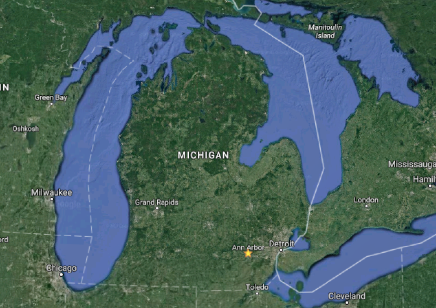
What's the story behind Michigan's Thumb?
Randall Schaetzl is a professor of geography and geological sciences at Michigan State University and he joined Stateside to provide a simple explanation.
To understand the Thumb’s story, Schaetzl said it’s crucial to go back in time to when glaciers moved around Michigan.
He said glaciers covered the state around 30,000 years ago. Then, around 24,000 years ago, they began to retreat. By 11,000 years ago, they were gone entirely.

At their peak, glaciers in southern Michigan were approximately a thousand or even 1,500 feet thick. Schaetzl said that’s in comparison to glaciers in northern Canada which were between a mile and a half and two miles thick at the time.
That’s a lot of ice in our past, and because of that, Schaetzl said glaciers had “a lot to do with the way the landscape exists today.”
“Everything you see out there – hills, valleys, lakes, the Great Lakes themselves – are all legacies of the glacial advances and retreats,” he said. “And not just the last one, but there may have been as many as 10 to 15 previous advances and retreats, about which we know very little. So this is a long-term process.”
Schaetzl said glaciers have been coming and going over our state for the last couple million years.
“We have to think about how the glaciers advanced into the state,” Schaetzl said. “They were sliding and flowing southward out of Canada and they found some weak rocks, called shales, in the Lake Huron Basin.”
In the area that is now the Lake Huron Basin, glaciers “preferentially dug those rocks out because they’re softer.” That’s how the basin formed.
But how did glaciers carve out the thumb, you ask?
“When the ice was moving southward through Lake Huron, as we understand it, it would have hit a very hard rock layer in the thumb called the Marshall Sandstone,” Schaetzl said. “The Marshall Sandstone is one of the hardest rocks in the Lower Peninsula and it’s at the surface in the northern thumb… so the glacier hit that sandstone and couldn’t scrape it away, so it actually split the advancing ice into one tongue that would have gone south toward Port Huron, down east of Detroit. The other tongue, or what we call ‘lobe,’ would have been hived off and flowed westward into the peninsula, carving out Saginaw Bay.”
Not too long ago, Model D published an article titled Why does Michigan have a Thumb? Check it out for more.
You can also hear our full conversation with Randall Schaetzl above.
(Subscribe to the Stateside podcast on iTunes, Google Play, or with this RSS link)


